Geographic Information Systems
The primary goal of the Geographic Information Systems (GIS) Department is to work in partnership with Lakewood Water District staff, partners, and the public to provide a robust and high quality Geographic Information System that empowers users to efficiently access, manage, maintain, and share accurate, reliable, and consistent data; and to easily and quickly analyze and obtain information in various formats on demand.
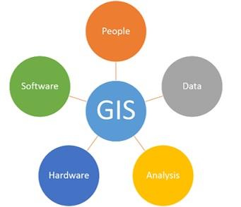
The GIS Department is responsible for the infrastructure used to capture, store, manipulate, analyze, manage, and present spatial or geographic data. The District utilizes GIS as the system of record for assets including pipes, fittings, valves, and hydrants. The information in the District GIS platform is used across the organization for a variety of purposes, such as:
- Identifying the location of buried assets for contractors and other utilities doing underground work
- Monitoring the age, material, and useful life of Water Mains to ensure it is replaced at the right time in its life-cycle
- Identifying and designing new Replacement and Rehabilitation Projects
- Organizing and storing information related to annual maintenance programs such as Water Main Flushing and Valve Exercising
The GIS Department is also responsible for administering Computer Aided Design (CAD) resources, used for creating engineering design drawings, Web mapping applications consumed by the District's Customer Information System (CIS), Asset and Computerized Maintenance Management System (CMMS), and other department-specific applications.
One of the core responsibilities of the GIS Department is operation and updating of the District's Computerized Water Distribution System Hydraulic Model. This system allows District Engineering and Operations staff to see how water moves through our distribution system. They can then analyze the effect of changes to the system such as increasing the size of mains or adding new wells.
District GIS staff work to ensure that the best tools and technology are being used to improve efficiency and data access for internal and external stakeholders wherever possible. In the past two years, Lakewood Water District has grown GIS from a system of records on a single desktop computer, to a server-enabled tool utilized by all staff. The GIS Department looks forward to continually improving the information products available to our staff, partners and the public.
To learn more about the GIS Resources Available for use visit our ArcGIS Hub Site